
FRESNO, CALIFORNIA: Sierra snowpack conditions within the Kings River watershed have improved in February, bolstered by a decent storm. Despite snow water content being twice what surveyors found last month, conditions remain drier than at the same time last year. Those were the findings of this season’s second measurements by Kings River Water Association (KRWA) and other California Cooperative Snow Survey partners in the mountains of eastern Fresno and Tulare counties.
Kings River Watermaster Steve Haugen said the snowpack water content is 16.7 inches, 76% of average for March 1, and represents only 68% of what would be expected when snow conditions typically peak around April 1.
Snow depths averaged 51 inches this year compared with 67 inches in an average winter. Surveyors found about 2 inches less water content compared to last year; some near normal locations near the Sierra crest, but less snowpack at lower elevations.
Some of the early snowpack developed might have melted off, so additional accumulation will be needed to provide water for the Kings River, which provides surface water to irrigation districts and water users in portions of Fresno, Tulare, and Kings counties. “After a desperately dry January, the Kings River received a few storms in the past month that doubled the snowpack,” Haugen said. “Regional water availability will depend on getting more snowpack in the Southern Sierra Nevada, since most of the storms this season have landed in the northern portions of the California.”
Of the 23 snow courses measured, the deepest snow was at Charlotte Ridge in the river’s South Fork near Mount Gould. There, the snow depth was 73.5 inches with a water content of 26.5 inches, 119% of average. The least snow depth — 10 inches — was at Ridge Trail, in Sequoia-Kings Canyon National Park.
“In addition to the large swings in snowpack conditions we’ve seen this year, a big regional disparity remains between the Northern, Central, and Southern Sierra Nevada,” said Andy Reising, manager of California Department of Water Resources (DWR) Snow Surveys and Water Supply Forecasting Unit. “With so many of this season’s storms missing the southern half of the state, our statewide snowpack average can mask just how below average some regions are. Water managers will need to consider not just the extreme swings through the winter and spring months, but also the big differences from watershed to watershed.” Kings River water managers are keeping an eye on the upcoming forecast that is promising to provide the much-needed snowpack.
DWR will be using the snow survey along with information collected last week from Airborne Snow Observatory (ASO) flights to provide the Kings River water supply forecast. KRWA Assistant Watermaster Matthew Meadows said, “Recent storms have made survey conditions more difficult at lower elevations as snow has melted and re-frozen into ice layers. These important observations give water supply forecasters and ASO an understanding of the snow quality and how future melt will occur.” Snow survey teams are already planning for the crucial April 1 ‘peak’ trip to the high-country scheduled for the end of the month.
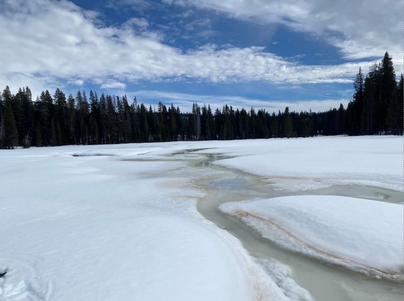
Snow surveyors find melt, ice, and slush as they sample conditions in Big Meadows at 7,600-foot elevation in the Kings River Basin. (PHOTO BY JENNIFER GONZALEZ, KRWA)
For more information, please contact:
Steve Haugen
Kings River Watermaster
559-217-5249
559-266-0767 office